What is on it, and what is not
We pinned a place only when we found recent evidence that it is operating: its own posts, current listings or news from 2024 to 2026. Vidigal also has dozens of small bars, bakeries, snack counters, pharmacies and shops along Avenida Presidente João Goulart, the main road up the hill. Many of them have no website, and some of the ones on the public map closed years ago, so they are not pinned. Walk up the main road and you will pass them, or ask Bruno which ones he likes this month.
Where the apartment is
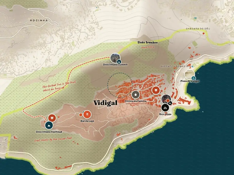
The shaded circle marks the part of the hill the apartment is in, based on the approximate location Airbnb shows for the listing. The exact address and the directions for the last few metres come with the booking.
Getting up the hill
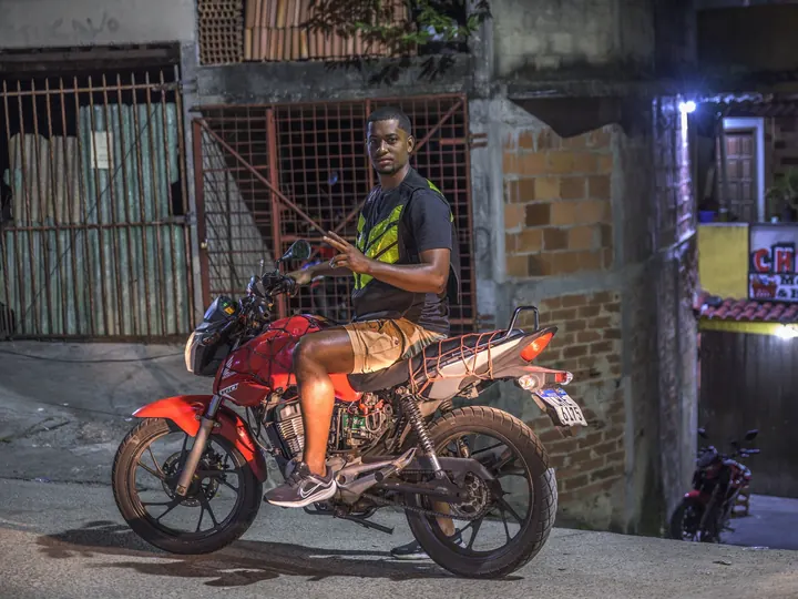
The main road climbs from Avenida Niemeyer to the Arvrão at the top, about 2 km. Moto-taxis and kombi vans wait at the bottom, by Praça do Vidigal, and cost about R$10 a ride. The alleys and stairways, the dotted lines on the map, are how residents move between the streets.
Credits
Map data © OpenStreetMap contributors, available under the Open Database Licence. Terrain from the Copernicus DEM GLO-30, © DLR e.V. 2010-2014 and © Airbus Defence and Space GmbH 2014-2018, provided under COPERNICUS by the European Union and ESA. Map engine: Leaflet, BSD licence.
Photos:
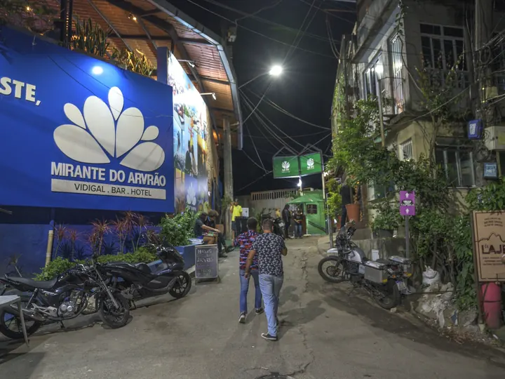
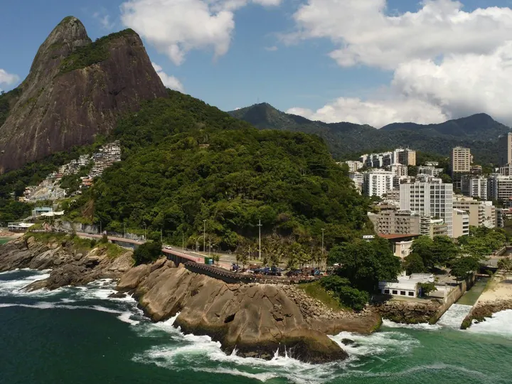
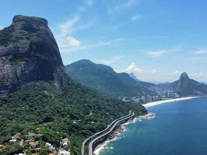
- Wilfredor, CC0, via Wikimedia Commons: Mirante do Arvrão, Dois Irmãos summit, Moto-taxis and kombis
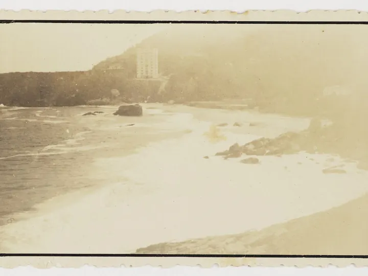
- Instituto Moreira Salles collection, public domain: Praia do Vidigal
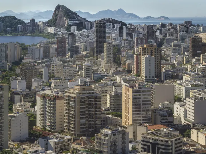
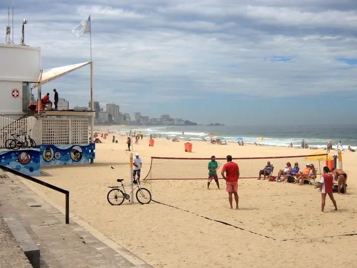
- Xiuli Tan, CC0, via Wikimedia Commons: Leblon beach
Other photos: Lux Vidigal and licensed stock. The full list is on the photo credits page.